
Latur topographic map
Interactive map
Click on the map to display elevation.
About this map
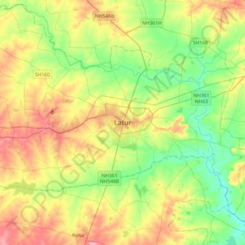
Name: Latur topographic map, elevation, terrain.
Location: Latur, Maharashtra, 413512, India (18.23834 76.40209 18.55834 76.72209)
Average elevation: 2,014 ft
Minimum elevation: 1,870 ft
Maximum elevation: 2,260 ft