
Astrup topographic map
Interactive map
Click on the map to display elevation.
About this map
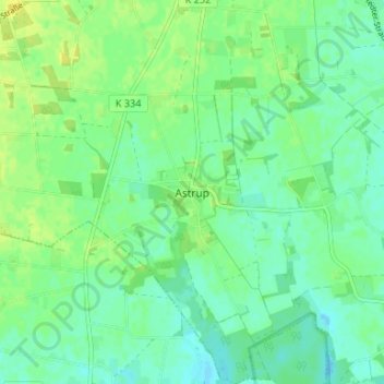
Name: Astrup topographic map, elevation, terrain.
Location: Astrup, Landkreis Vechta, Lower Saxony, 49429, Germany (52.78217 8.28226 52.82217 8.32226)
Average elevation: 167 ft
Minimum elevation: 141 ft
Maximum elevation: 197 ft