
Krakau topographic map
Interactive map
Click on the map to display elevation.
About this map
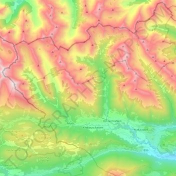
Name: Krakau topographic map, elevation, terrain.
Location: Krakau, Murau, Styria, 8854, Austria (47.16192 13.85001 47.27111 14.06760)
Average elevation: 5,725 ft
Minimum elevation: 3,054 ft
Maximum elevation: 8,944 ft