
Badah topographic map
Interactive map
Click on the map to display elevation.
About this map
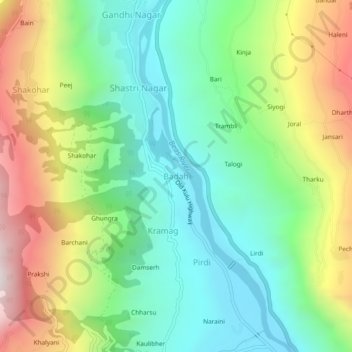
Name: Badah topographic map, elevation, terrain.
Location: Badah, Kullu, Himachal Pradesh, 175100, India (31.91381 77.09516 31.95381 77.13516)
Average elevation: 5,085 ft
Minimum elevation: 3,684 ft
Maximum elevation: 7,585 ft