
Ider topographic map
Interactive map
Click on the map to display elevation.
About this map
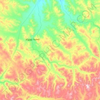
Name: Ider topographic map, elevation, terrain.
Location: Ider, Zavkhan, Mongolia (47.80368 97.04915 48.48679 98.07295)
Average elevation: 7,766 ft
Minimum elevation: 6,024 ft
Maximum elevation: 11,565 ft
Other topographic maps
Click on a map to view its topography, its elevation and its terrain.