
Namibe topographic map
Interactive map
Click on the map to display elevation.
About this map
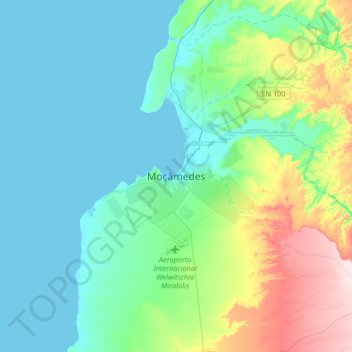
Name: Namibe topographic map, elevation, terrain.
Location: Namibe, 190, Angola (-15.35016 11.99308 -15.03016 12.31308)
Average elevation: 253 ft
Minimum elevation: -3 ft
Maximum elevation: 1,155 ft