
Meekatharra topographic map
Interactive map
Click on the map to display elevation.
About this map
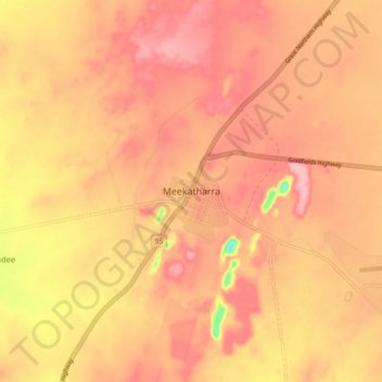
Name: Meekatharra topographic map, elevation, terrain.
Location: Meekatharra, Western Australia, 6642, Australia (-26.63256 118.45570 -26.55256 118.53570)
Average elevation: 1,699 ft
Minimum elevation: 1,414 ft
Maximum elevation: 1,818 ft