
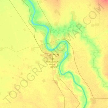
Wad Madanī topographic map
Interactive map
Click on the map to display elevation.
About this map
Name: Wad Madanī topographic map, elevation, terrain.
Location: Wad Madanī, Gezira State, Sudan (14.23658 33.37096 14.55658 33.69096)
Average elevation: 1,345 ft
Minimum elevation: 1,276 ft
Maximum elevation: 1,398 ft
Other topographic maps
Click on a map to view its topography, its elevation and its terrain.