
Deville topographic map
Interactive map
Click on the map to display elevation.
About this map
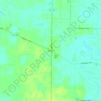
Name: Deville topographic map, elevation, terrain.
Location: Deville, Rapides Parish, Louisiana, 71328, USA (31.33740 -92.18541 31.37740 -92.14541)
Average elevation: 66 ft
Minimum elevation: 43 ft
Maximum elevation: 92 ft