
Camp John McLean Memorial Park topographic map
Interactive map
Click on the map to display elevation.
About this map
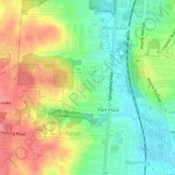
Name: Camp John McLean Memorial Park topographic map, elevation, terrain.
Average elevation: 679 ft
Minimum elevation: 561 ft
Maximum elevation: 817 ft