
Four Oaks topographic map
Interactive map
Click on the map to display elevation.
About this map
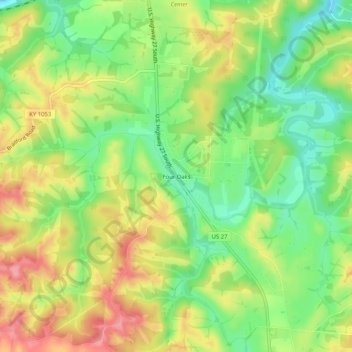
Name: Four Oaks topographic map, elevation, terrain.
Location: Four Oaks, Pendleton County, Kentucky, 41040, United States (38.61396 -84.33799 38.65396 -84.29799)
Average elevation: 719 ft
Minimum elevation: 558 ft
Maximum elevation: 902 ft