
Medora topographic map
Interactive map
Click on the map to display elevation.
About this map
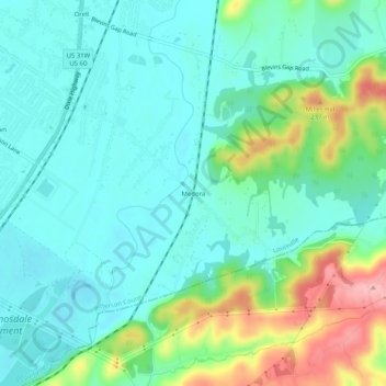
Name: Medora topographic map, elevation, terrain.
Location: Medora, Jefferson County, Kentucky, 40272, United States (38.03313 -85.88996 38.07313 -85.84996)
Average elevation: 522 ft
Minimum elevation: 404 ft
Maximum elevation: 853 ft