
Panskura topographic map
Interactive map
Click on the map to display elevation.
About this map
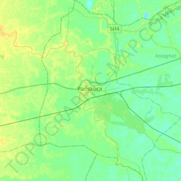
Name: Panskura topographic map, elevation, terrain.
Location: Panskura, Purba Medinipur, West Bengal, India (22.28504 87.64984 22.50911 87.83861)
Average elevation: 23 ft
Minimum elevation: -7 ft
Maximum elevation: 52 ft