
Goshen topographic map
Interactive map
Click on the map to display elevation.
About this map
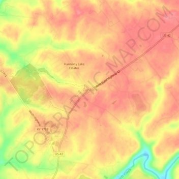
Name: Goshen topographic map, elevation, terrain.
Location: Goshen, Oldham County, Kentucky, 40026, USA (38.38312 -85.59413 38.42312 -85.55413)
Average elevation: 669 ft
Minimum elevation: 492 ft
Maximum elevation: 738 ft