
Piedra del Águila topographic map
Interactive map
Click on the map to display elevation.
About this map
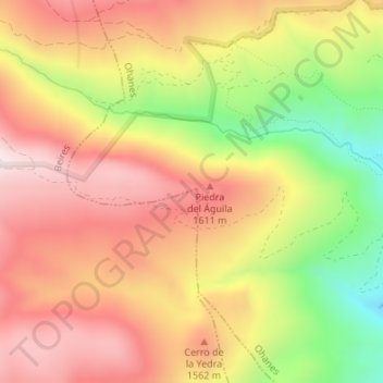
Name: Piedra del Águila topographic map, elevation, terrain.
Location: Piedra del Águila, Beires, Almeria, Andalusia, Spain (37.04981 -2.77994 37.04991 -2.77984)
Average elevation: 4,803 ft
Minimum elevation: 3,688 ft
Maximum elevation: 5,607 ft