
Chom Thong District topographic map
Interactive map
Click on the map to display elevation.
About this map
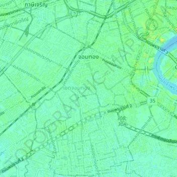
Name: Chom Thong District topographic map, elevation, terrain.
Location: Chom Thong District, Bangkok, 10150, Thailand (13.65908 100.43463 13.71792 100.48900)
Average elevation: 16 ft
Minimum elevation: 0 ft
Maximum elevation: 46 ft
Other topographic maps
Click on a map to view its topography, its elevation and its terrain.
Arokaya Park, 77th Anniversary of Kasetsart University
Arokaya Park, 77th Anniversary of Kasetsart University, Kaset, Bangkok, Chatuchak District, Bangkok, 10900, Thailand
Average elevation: 16 ft