
Hachioji topographic map
Interactive map
Click on the map to display elevation.
About this map
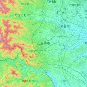
Name: Hachioji topographic map, elevation, terrain.
Location: Hachioji, Tokyo, Kanto, Japan (35.59832 139.16160 35.71912 139.43030)
Average elevation: 781 ft
Minimum elevation: 177 ft
Maximum elevation: 3,041 ft
Other topographic maps
Click on a map to view its topography, its elevation and its terrain.