
Grantwood Village topographic map
Interactive map
Click on the map to display elevation.
About this map
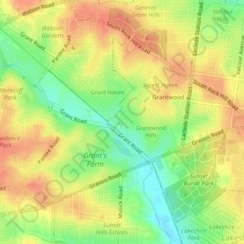
Name: Grantwood Village topographic map, elevation, terrain.
Location: Grantwood Village, Saint Louis County, Missouri, USA (38.54205 -90.36621 38.56085 -90.34187)
Average elevation: 568 ft
Minimum elevation: 472 ft
Maximum elevation: 633 ft