
Westhope topographic map
Interactive map
Click on the map to display elevation.
About this map
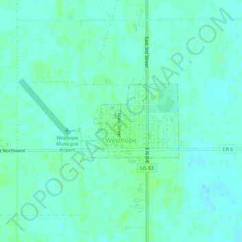
Name: Westhope topographic map, elevation, terrain.
Location: Westhope, Bottineau County, North Dakota, USA (48.90746 -101.02748 48.91569 -101.01086)
Average elevation: 1,493 ft
Minimum elevation: 1,480 ft
Maximum elevation: 1,506 ft