
the bog topographic map
Interactive map
Click on the map to display elevation.
About this map
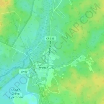
Name: the bog topographic map, elevation, terrain.
Location: the bog, Stafford Township, Ocean County, New Jersey, USA (39.75050 -74.36888 39.75060 -74.36878)
Average elevation: 112 ft
Minimum elevation: 79 ft
Maximum elevation: 148 ft