
Burgess topographic map
Interactive map
Click on the map to display elevation.
About this map
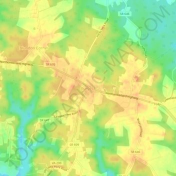
Name: Burgess topographic map, elevation, terrain.
Location: Burgess, Northumberland County, Virginia, 22432, USA (37.86319 -76.36772 37.90319 -76.32772)
Average elevation: 72 ft
Minimum elevation: -3 ft
Maximum elevation: 112 ft