
Hermon topographic map
Interactive map
Click on the map to display elevation.
About this map
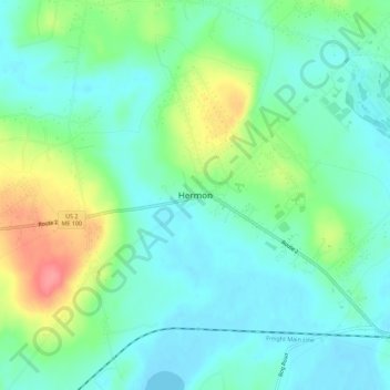
Name: Hermon topographic map, elevation, terrain.
Location: Hermon, Penobscot County, Maine, USA (44.79010 -68.93380 44.83010 -68.89380)
Average elevation: 187 ft
Minimum elevation: 112 ft
Maximum elevation: 374 ft