
Sangvi topographic map
Interactive map
Click on the map to display elevation.
About this map
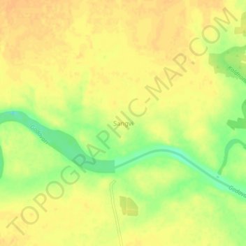
Name: Sangvi topographic map, elevation, terrain.
Location: Sangvi, Ahmednagar, Maharashtra, India (19.91678 74.33732 19.95678 74.37732)
Average elevation: 1,677 ft
Minimum elevation: 1,604 ft
Maximum elevation: 1,703 ft