
Ludwigshafen am Rhein topographic map
Interactive map
Click on the map to display elevation.
About this map
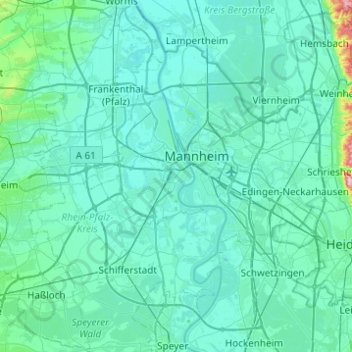
Name: Ludwigshafen am Rhein topographic map, elevation, terrain.
Location: Ludwigshafen am Rhein, Rhineland-Palatinate, 67061, Germany (49.31041 8.27816 49.63041 8.59816)
Average elevation: 351 ft
Minimum elevation: 272 ft
Maximum elevation: 1,407 ft