
Ackerman topographic map
Interactive map
Click on the map to display elevation.
About this map
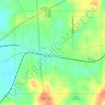
Name: Ackerman topographic map, elevation, terrain.
Location: Ackerman, Choctaw County, Mississippi, United States (33.30019 -89.18446 33.32178 -89.15776)
Average elevation: 548 ft
Minimum elevation: 479 ft
Maximum elevation: 646 ft