
Kiến Giang topographic map
Interactive map
Click on the map to display elevation.
About this map
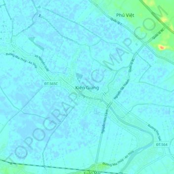
Name: Kiến Giang topographic map, elevation, terrain.
Location: Kiến Giang, Lệ Thủy District, Quang Binh province, Vietnam (17.18824 106.74095 17.26824 106.82095)
Average elevation: 10 ft
Minimum elevation: -10 ft
Maximum elevation: 118 ft