
Kaga topographic map
Interactive map
Click on the map to display elevation.
About this map
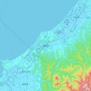
Name: Kaga topographic map, elevation, terrain.
Location: Kaga, Ishikawa Prefecture, Chubu Region, 922-0563, Japan (36.14276 136.15512 36.46276 136.47512)
Average elevation: 354 ft
Minimum elevation: -16 ft
Maximum elevation: 4,409 ft