
الحمراء topographic map
Interactive map
Click on the map to display elevation.
About this map
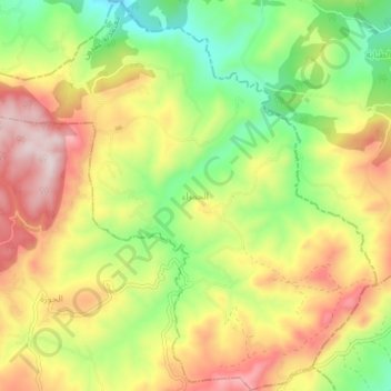
Name: الحمراء topographic map, elevation, terrain.
Location: الحمراء, عمدون, Béja, Tunisia (36.83610 9.00012 36.89666 9.07618)
Average elevation: 1,296 ft
Minimum elevation: 535 ft
Maximum elevation: 2,175 ft
Other topographic maps
Click on a map to view its topography, its elevation and its terrain.