
Gignac topographic map
Interactive map
Click on the map to display elevation.
About this map
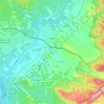
Name: Gignac topographic map, elevation, terrain.
Location: Gignac, Lodève, Hérault, Occitanie, France, 34150, France (43.61257 3.51109 43.67081 3.62083)
Average elevation: 312 ft
Minimum elevation: 89 ft
Maximum elevation: 958 ft