
Rašica topographic map
Interactive map
Click on the map to display elevation.
About this map
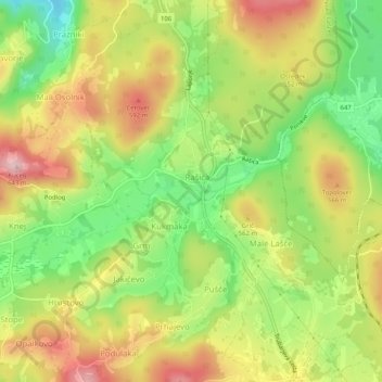
Name: Rašica topographic map, elevation, terrain.
Location: Rašica, Velike Lašče, Upravna Enota Ljubljana, 1315, Slovenia (45.84272 14.59694 45.85942 14.64788)
Average elevation: 1,703 ft
Minimum elevation: 1,345 ft
Maximum elevation: 2,070 ft