
Pulau Besing topographic map
Interactive map
Click on the map to display elevation.
About this map
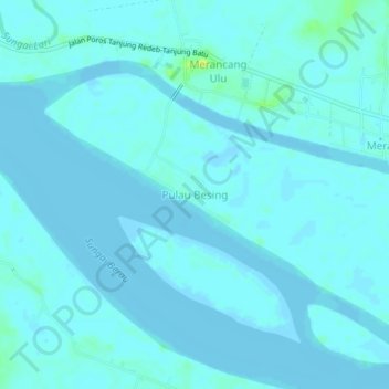
Name: Pulau Besing topographic map, elevation, terrain.
Location: Pulau Besing, East Kalimantan, Indonesia (2.17574 117.63997 2.21574 117.67997)
Average elevation: 7 ft
Minimum elevation: -10 ft
Maximum elevation: 59 ft