
Kodoli topographic map
Interactive map
Click on the map to display elevation.
About this map
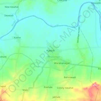
Name: Kodoli topographic map, elevation, terrain.
Location: Kodoli, Panhala, Kolhapur, Maharashtra, India (16.83505 74.15011 16.91505 74.23011)
Average elevation: 1,873 ft
Minimum elevation: 1,785 ft
Maximum elevation: 2,142 ft