
Buissenal topographic map
Interactive map
Click on the map to display elevation.
About this map
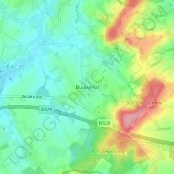
Name: Buissenal topographic map, elevation, terrain.
Location: Buissenal, Hainaut, Wallonie, 7911, Belgique (50.64486 3.63513 50.68486 3.67513)
Average elevation: 213 ft
Minimum elevation: 105 ft
Maximum elevation: 453 ft