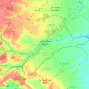
La Bazoche-Gouet topographic map
Interactive map
Click on the map to display elevation.
About this map
Name: La Bazoche-Gouet topographic map, elevation, terrain.
Average elevation: 653 ft
Minimum elevation: 545 ft
Maximum elevation: 804 ft

Click on the map to display elevation.
Name: La Bazoche-Gouet topographic map, elevation, terrain.
Average elevation: 653 ft
Minimum elevation: 545 ft
Maximum elevation: 804 ft