
Sées topographic map
Interactive map
Click on the map to display elevation.
About this map
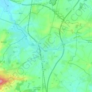
Name: Sées topographic map, elevation, terrain.
Location: Sées, Alençon, Orne, Normandie, France, 61500, France (48.56991 0.10427 48.64502 0.22456)
Average elevation: 653 ft
Minimum elevation: 541 ft
Maximum elevation: 1,020 ft