
Ratti topographic map
Interactive map
Click on the map to display elevation.
About this map
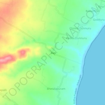
Name: Ratti topographic map, elevation, terrain.
Location: Ratti, Srikakulam, Andhra Pradesh, India (18.79798 84.52460 18.83798 84.56460)
Average elevation: 125 ft
Minimum elevation: -7 ft
Maximum elevation: 358 ft