
Allgau topographic map
Interactive map
Click on the map to display elevation.
About this map
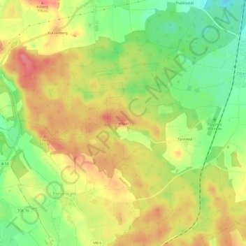
Name: Allgau topographic map, elevation, terrain.
Location: Allgau, Bayern, Upper Bavaria, Bavaria, 83627, Germany (47.80416 11.66224 47.84416 11.70224)
Average elevation: 2,434 ft
Minimum elevation: 2,290 ft
Maximum elevation: 2,559 ft