
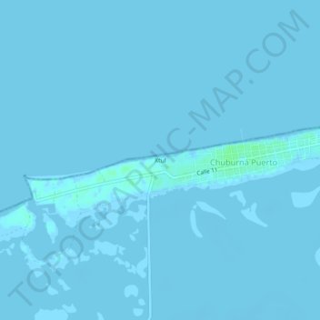
Xtul topographic map
Interactive map
Click on the map to display elevation.
About this map
Name: Xtul topographic map, elevation, terrain.
Location: Xtul, Progreso, Yucatán, México (21.23267 -89.84699 21.27267 -89.80699)
Average elevation: 0 ft
Minimum elevation: -10 ft
Maximum elevation: 20 ft