
Tlaxcalancingo topographic map
Interactive map
Click on the map to display elevation.
About this map
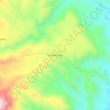
Name: Tlaxcalancingo topographic map, elevation, terrain.
Location: Tlaxcalancingo, Ixtacamaxtitlán, Puebla, México (19.62361 -97.92389 19.66361 -97.88389)
Average elevation: 7,910 ft
Minimum elevation: 7,215 ft
Maximum elevation: 8,976 ft