
Saint-Laurent topographic map
Interactive map
Click on the map to display elevation.
About this map
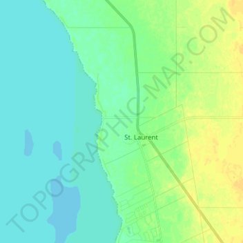
Name: Saint-Laurent topographic map, elevation, terrain.
Location: Saint-Laurent, Manitoba, R0C 2S0, Canada (50.37667 -97.99000 50.45667 -97.91000)
Average elevation: 827 ft
Minimum elevation: 804 ft
Maximum elevation: 863 ft