
Pilot Mound topographic map
Interactive map
Click on the map to display elevation.
About this map
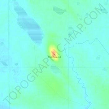
Name: Pilot Mound topographic map, elevation, terrain.
Average elevation: 1,529 ft
Minimum elevation: 1,506 ft
Maximum elevation: 1,621 ft
Other topographic maps
Click on a map to view its topography, its elevation and its terrain.
Clearwater
Canada > Manitoba > Division No. 4 > Municipality of Louise
Clearwater, Municipality of Louise, Division No. 4, Manitoba, Canada
Average elevation: 1,490 ft