
Kent Island topographic map
Interactive map
Click on the map to display elevation.
About this map
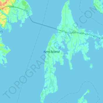
Name: Kent Island topographic map, elevation, terrain.
Average elevation: 3 ft
Minimum elevation: -7 ft
Maximum elevation: 128 ft
Other topographic maps
Click on a map to view its topography, its elevation and its terrain.
Chester
United States > Maryland > Queen Anne's County > Chester
Chester, Queen Anne's County, Maryland, United States
Average elevation: 7 ft