
El Ksar topographic map
Interactive map
Click on the map to display elevation.
About this map
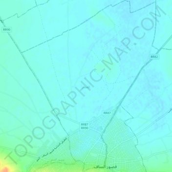
Name: El Ksar topographic map, elevation, terrain.
Location: El Ksar, Ksour Essaf, Mahdia, Tunisie (35.41489 10.97473 35.45481 11.01404)
Average elevation: 23 ft
Minimum elevation: 3 ft
Maximum elevation: 125 ft
Other topographic maps
Click on a map to view its topography, its elevation and its terrain.