
Chugwater topographic map
Interactive map
Click on the map to display elevation.
About this map
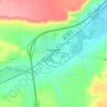
Name: Chugwater topographic map, elevation, terrain.
Location: Chugwater, Platte County, Wyoming, 82210, United States (41.74067 -104.84706 41.77018 -104.79838)
Average elevation: 5,377 ft
Minimum elevation: 5,230 ft
Maximum elevation: 5,617 ft