
WEVR-AM (River Falls) topographic map
Interactive map
Click on the map to display elevation.
About this map
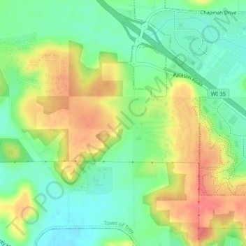
Name: WEVR-AM (River Falls) topographic map, elevation, terrain.
Average elevation: 988 ft
Minimum elevation: 896 ft
Maximum elevation: 1,102 ft