
Lake of the Pines topographic map
Interactive map
Click on the map to display elevation.
About this map
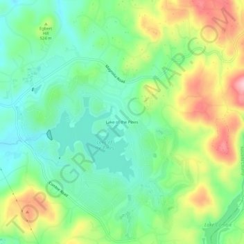
Name: Lake of the Pines topographic map, elevation, terrain.
Location: Lake of the Pines, Nevada County, California, 95722, USA (39.01962 -121.07661 39.05962 -121.03661)
Average elevation: 1,657 ft
Minimum elevation: 1,424 ft
Maximum elevation: 2,067 ft