
Elora topographic map
Interactive map
Click on the map to display elevation.
About this map
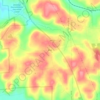
Name: Elora topographic map, elevation, terrain.
Location: Elora, Butler County, Pennsylvania, United States (40.97395 -80.00950 41.01395 -79.96950)
Average elevation: 1,342 ft
Minimum elevation: 1,148 ft
Maximum elevation: 1,473 ft