
Phulera topographic map
Interactive map
Click on the map to display elevation.
About this map
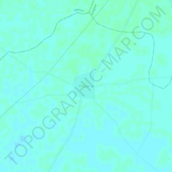
Name: Phulera topographic map, elevation, terrain.
Location: Phulera, Sunam Tahsil, Sangrur, Punjab, 148028, India (29.97206 75.66698 30.01206 75.70698)
Average elevation: 738 ft
Minimum elevation: 732 ft
Maximum elevation: 748 ft