
Scotia topographic map
Interactive map
Click on the map to display elevation.
About this map
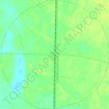
Name: Scotia topographic map, elevation, terrain.
Location: Scotia, Hampton County, South Carolina, 29939, USA (32.66590 -81.26049 32.69517 -81.22609)
Average elevation: 98 ft
Minimum elevation: 66 ft
Maximum elevation: 121 ft