
Tamenglong topographic map
Interactive map
Click on the map to display elevation.
About this map
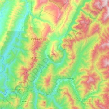
Name: Tamenglong topographic map, elevation, terrain.
Location: Tamenglong, Manipur, India (24.79044 93.40284 25.08389 93.77526)
Average elevation: 2,680 ft
Minimum elevation: 443 ft
Maximum elevation: 6,755 ft